NCERT CLASS 9 SOCIAL SCIENCE_ GEOGRAPHY_INDIA – SIZE AND LOCATIONINDIA SIZE AND LOCATION
POINT TO BE REMEMBERED
INDIA – SIZE AND LOCATION
India is one of the ancient civilisations in the
world.
It has achieved multi-faceted socioeconomic progress during the last five
decades.
It has moved forward displaying
remarkable progress in the field of
agriculture, industry, technology and overall
economic development.
LOCATION
India is a vast country.
Lying entirely in the
Northern hemisphere
the main
land extends between latitudes 8°4'N and
37°6'N and longitudes 68°7'E and 97°25'E.
LATITUDE AND LONGITUDE :
The Tropic of Cancer (23° 30'N) divides the
country into almost two equal parts.
To the
southeast and southwest of the mainland, lie
the Andaman and Nicobar islands and the
Lakshadweep islands in Bay of Bengal and
Arabian Sea respectively.
KNOW THE FACTS !
• The southernmost point of
the Indian Union– ‘Indira Point’ got submerged under
the sea water in 2004 during the Tsunami.
SIZE
The land mass of India has an area of 3.28
million square km. India’s total area accounts
for about 2.4 per cent of the total geographical area of the world.
India is the seventh largest country of
the world.
India has a land boundary of
about 15,200 km and the total length of the
coastline of the mainland, including
Andaman and Nicobar and Lakshadweep,
is 7,516.6 km.
India is bounded by the young fold
mountains in the northwest, north and
northeast.
South of about 22° north
latitude, it begins to taper, and extends
towards the Indian Ocean, dividing it into
two seas, the Arabian Sea on the west and
the Bay of Bengal on its east.
latitudinal and longitudinal extent of the
mainland is about 30°.
Despite this fact, the
east-west extent appears to be smaller than
the north-south extent.
From Gujarat to Arunachal Pradesh,
there is a time lag of two hours.
Hence, time
along the Standard Meridian of India
(82°30'E) passing through Mirzapur (in
Uttar Pradesh) is taken as the standard time
for the whole country.
The latitudinal extent
influences the duration of day and night, as
one moves from south to north.
FIND OUT THE FACCTS
Why 82°30'E has been selected as the Standard
Meridian of India?
india is a vast country , longitude differs from east to west is 30 degree. due to the longitudinal variation, there is time lag of 2hours between gujarat and arunachal pradesh . 1 degree = 4minutes so that , 30 degree = 120 minutes or 2 hours. longitudinal differences cause time variation. so it is inconvenience for a country, to avoid this such situation he Standard Meridian of India (82°30'E) passing through Mirzapur (in Uttar Pradesh) is taken as the standard time for the whole country.
• Why is the difference between the durations
of day and night hardly felt at Kanniyakumari
but not so in Kashmir?
india is a vast country , latitudes differs from north to south extent so that duration of day an night differs from place to place .kannyakumari is southern most place and kashmir is northern most state.and kannyakumari lies near equator as sun falls vertically on equator. thus it hardly felt duration of day and night on the other hand kashmir is away from equator .
INDIA AND THE WORLD
The Indian landmass has a central location
between the East and the West Asia.
India is a
southward extension of the Asian continent.
The
trans Indian Ocean routes, which connect the
countries of Europe in the West and the
countries of East Asia, provide a strategic central
location to India.
Note that the Deccan Peninsula
protrudes into the Indian Ocean, thus helping
India to establish close contact with West Asia,
Africa and Europe from the western coast and
with Southeast and East Asia from the eastern
coast.
No other country has a long coastline on
the Indian Ocean as India has and indeed, it is
India’s eminent position in the Indian Ocean,
which justifies the naming of an Ocean after it.
KNOW THE FACTS
Since the opening of the
Suez Canal in 1869, India’s distance from Europe
has been reduced by 7,000 km.
India’s contacts with the World have
continued through ages but her relationships
through the land routes are much older than
her maritime contacts.
The various passes across
the mountains in the north have provided
passages to the ancient travellers, while the
oceans restricted such interaction for a long time.
These routes have contributed in the
exchange of ideas and commodities since
ancient times.
The ideas of the Upanishads
and the Ramayana, the stories of Panchtantra,
the Indian numerals and the decimal system
thus could reach many parts of the world.
The
spices, muslin and other merchandise were
taken from India to different countries.
On the
other hand, the influence of Greek sculpture,
and the architectural styles of dome and
minarets from West Asia can be seen in
different parts of our country
INDIA’S NEIGHBOURS
India occupies an important strategic position
in South Asia. India has 28 states and Eight
Union Territories
FIND OUT
• The number of Union Territories
along the western and eastern coasts.
WESTERN COAST : Daman and Diu, Dadra and Nagar Haveli and Lakshadweep EASTERN COAT : puducherry
• Area-wise which is the smallest and which is
the largest state?
largest state RAJASTHAN 342,239 Sq km
SMALLEST GOA 3,702 Sq km
• The states which do not have an international
border or lie on the coast.
Haryana , MP, Jharkhand, chhattisgarh and Telengana
• Classify the states into four groups each
having common frontiers with
(i) Pakistan, (ii) China, (iii) Myanmar, and
(iv) Bangladesh.
India shares its land boundaries with
Pakistan and Afghanistan in the northwest,
China (Tibet), Nepal and Bhutan in the north
and Myanmar and Bangladesh in the east.
Our southern neighbours across the sea
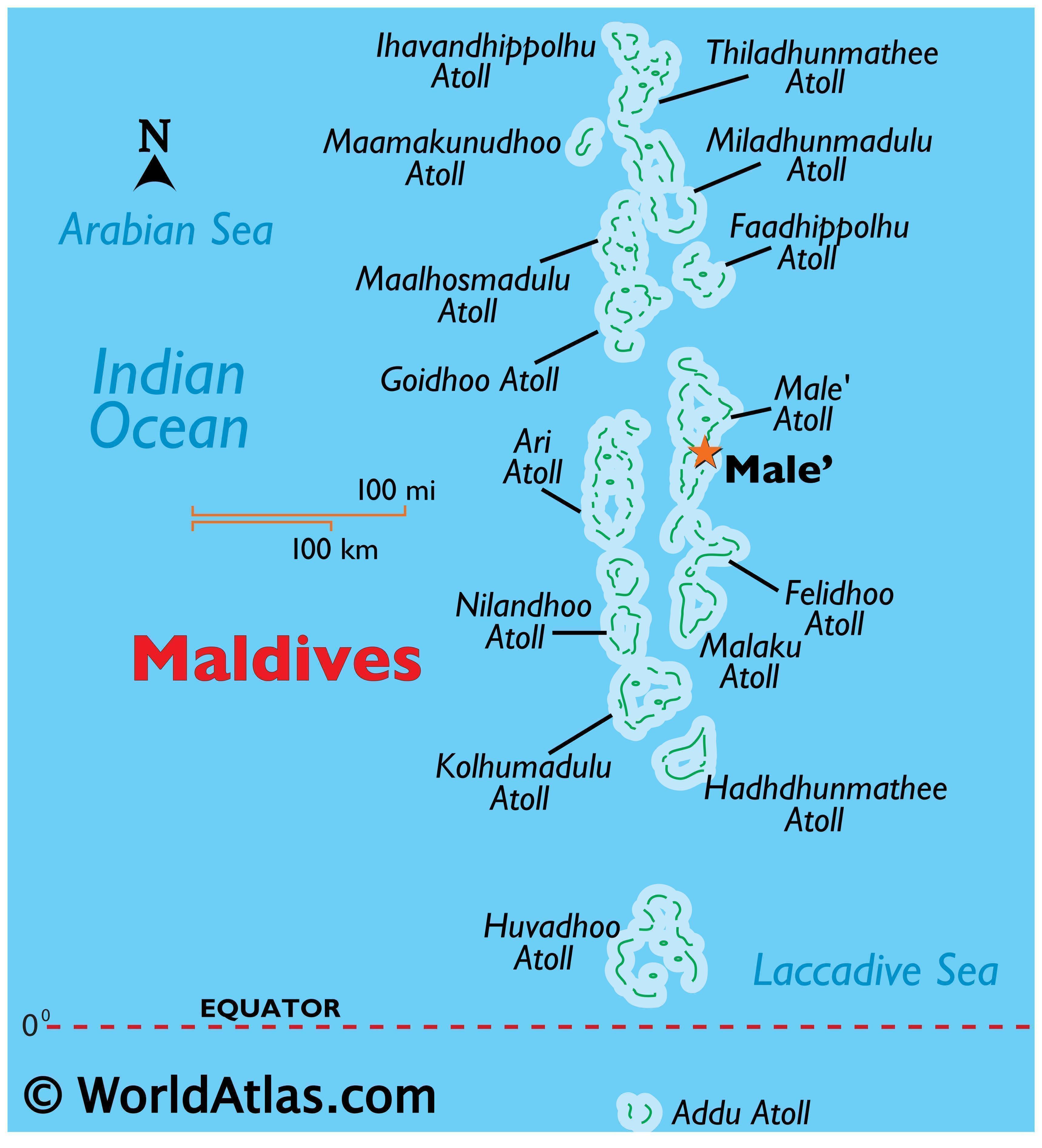
consist of the two island countries, namely Sri Lanka and Maldives.
Sri Lanka is
separated from India by a narrow channel
of sea formed by the Palk Strait and the Gulf
of Mannar, while Maldives Islands are situated
to the south of the Lakshadweep Islands.


.jpg)


0 Comments