
ISOPLETRH// GEOA CC2 //PRACTICAL GEOGRAPHY

ISOPLETH MAP
Definition
The term isopleth has been derived from words “isos” meaning ‘same’ and “plethron” meaning ‘measure’. Thus isopleth are lines joining places of equal values. The value may be in the form of quantity, intensity or density. Isobars (equal pressures), Isotherms (equal Temperature), Isohytes (equal rainfall), Ispbaths (equal depths), Isoseismal (equal earthquake intensity), Isonephs (equal cloudiness), Isohalines (equal salinity), Isogenes (equal magnetic variation) etc are some important examples of Isopleths.
An isopleths is a line drawn on a map through all points having the same value of some measurable quantity. Isopleth maps simplify information about a region by showing areas with continuous distribution. Isopleth maps may use lines to show areas where elevation, temperature, rainfall, or some other quality is the same; values between lines can be interpolated. Isopleths may also use color to show regions where some quality is the same; for example, a map that use shades from red to blue to indicate temperature ranges.
Applications of Isopleth Maps:
Isopleth maps used in different fields to show the equality of values.
The following are some of Isoline map’s applications,
1. Isopleth maps used in climatic data to show areas with the same temperature, pressure, rainfalls etc.
2. Used in population or production data to show similarities between one area and another.
3. Used in showing altitude with the same height`s meters by using contour lines between one area and another.
Merits of Isopleth Technique:
1. Isopleth are more scientific than other methods of showing distribution and effectively show the distribution and variations.
2. This is especially useful for climatic maps such as isobars, isotherms, isohyet etc. and is known as the main tool for the meteorologists.
3. It is very easy to determine the gradient (rate of change) with the help of isopleth maps.
4. When isopleth are wide apart ,they show low gradient but when they are closer together they show high gradient.
5. Isopleth lines are independent of political boundaries and best suited to show the natural pattern of distribution of an element.
Demerits of Isopleth Technique:
1. Many isopleths are drawn by interpolation which sometimes lead to inaccuracy in the directions of isopleths and the pattern of distribution shown by those lines is distorted.
2. It is confusing when there is large list of points or dots.
3. It is time consuming when there is large number of dots or points.
There may be different types of isopleths.
Some examples are given below:
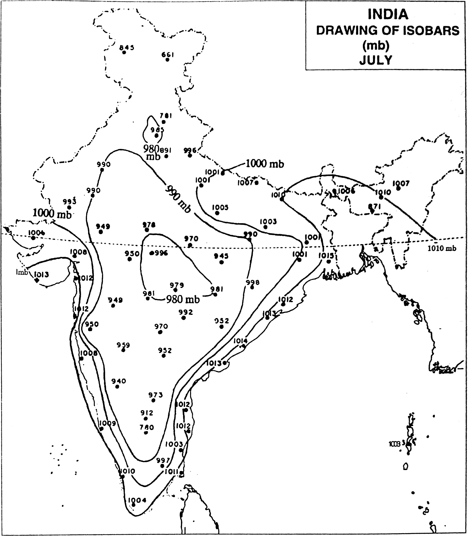
- Isobar - A line representing points of equal atmospheric pressure.
- Isobath - A line representing points of equal depth under water.
- Isobathytherm - A line representing depths of water with equal temperature.
- Isochasm - A line representing points of equal recurrence of auroras.
- Isocheim - A line representing points of equal mean winter temperature.
- Isochrone - A line representing points of equal time-distance from a point, such as the transportation time from a particular point.
- Isodapane - A line representing points of equal transport costs for products from production to markets.
- Isodose - A line representing points of equal intensity of radiation.
- Isodrosotherm - A line representing points of equal dew point.
- Isogeotherm - A line representing points of equal mean temperature.
- Isogloss - A line separating linguistic features.
- Isogonal - A line representing points of equal magnetic declination.
- Isohaline - A line representing points of equal salinity in the ocean.
- Isohel - A line representing points receiving equal amounts of sunshine.
- Isohume - A line representing points of equal humidity.
- Isohyet - A line representing points of equal precipitation.
- Isoneph - A line representing points of equal amounts of cloud cover.
- Isopectic - A line representing points where ice begins to form at the same time each fall or winter.
- Isophene - A line representing points where biological events occur at the same time, such as crops flowering.
- Isoplat - A line representing points of equal acidity, as in acid precipitation.
- Isopleth - A line representing points of equal numerical value, such as population.
- Isopor - A line representing points of equal annual change in magnetic declination.
- Isostere - A line representing points of equal atmospheric density.
- Isotac - A line representing points where ice begins to melt at the same time each spring.
- Isotach - A line representing points of equal wind speed.
- Isothere - A line representing points of equal mean summer temperature.
- Isotherm - A line representing points of equal temperature.
- Isotim - A line representing points of equal transport costs from the source of a raw material
READ MORE
one day one concept CLICK HERE
GENERAL KNOWLEDGE PART 1 CLICK HERE
GEOLOGICAL TIME SCALE IN ENGLISH CLICK HERE
GEOLOGICAL TIME SCALE IN BENGALI CLICK HERE .
পৃথিবীর অন্দরমহলের বর্ননা click here
interior structure of the earth click here
KANT GASEOUS HYPOTHESIS CLICK HERE
কান্টের গ্যাসীয় মতবাদ CLICK HERE
Free note for REMOTE SENSING AND GIS CLICK HERE
Regional planning in india click here
NCERT CLASS_6 SHORT NOTE CLICK HERE
NCERT CLASS _6 SOLUTION CLICK HERE
ICSE class -ix click here
ICSE class -x click here
CLASS 6 WBBSE GEOGRAPHY CLICK HERE
জলবায়ুর শ্রেণীবিভাগপ্রশ্ন-উত্তর click here
REGIONAL THEORIES CLICK HERE
দ্বাদশ শ্রেণী ভূগোল CLICK HERE
CURRENT AFFAIRS CLICK HERE
NOTES OF HUMAN GEOGRAPHY AND AND POPULATION GEOGRAPHY click here
CONTINENTAL DRIFT THEORY BY FB TAYLOR CLICK HERE
CONTINENTAL DRIFT THEORY BY TAYLOR IN BENGALI CLICK HERE
CONTINENTAL DRIFT THEORY BY WEGNER CLICK HERE
CLIMATE OF INDIA CLICK HERE
ভূমিরূপ গঠন কারী প্রক্রিয়া ; উচ্চমাধ্যমিক ভূগোল click here
বহির্জাত প্রক্রিয়া ও তার ফলে সৃষ্ট ভূমিরূপ click here
মহিসঞ্চারন তত্ত্ব click here
Ugc net 2007 june paper 2 geography click here
Ugc net 2006 december paper 2 geography click here
UGC NET GEOGRAPHY 2007 DECEMBER CLICK HERE
UGC NET GEOGRAPHY 2008 JUNE CLICK HERE
WB CLASS 6 GEOGRAPHY CHAPTER 4 CLICK HERE
UGC NET GEOGRAPHY 2009 JUNE CLICK HERE
PLATE TECTONIC THEORY CLICK HERE
NCERT CLASS 7 GEOGRAPHY CLICK HERE
CORAL REEF IN BENGALI NOTE CLICK HERE
CORAL REEF CLICK HERE
HS GEOGRAPHY CLICK HERE
GEOGRAOHICAL TERM click here
NTA NET GEOGRAPHY PYQS- MODELS AND THEORIES, 2020-2006, PART-1 CLICK HERE
NTA NET GEOGRAPHY PYQS- MODELS AND THEORIES, 2020-2006, PART-2 CLICK HERE
NTA NET GEOGRAPHY PYQS- MODELS AND THEORIES, 2020-2006, PART-3 CLICK HERE
NTA NET GEOGRAPHY IMPORTANT ONE LINER , 2020-2006, PART-1 CLICK HERE
NTA NET GEOGRAPHY CLIMATOLOGY PYQS 2020-2006 PART 1 CLICK HERE
NTA NET GEOGRAPHY GEOMORPHOLOGY 2020-2006 PART 1CLICK HER E


0 Comments