
DEATAILS ABOUT RIVER BHAGIRATHI

The Ganges river is the lifeline to Indians who live along its course and flows through the historically important cities of Rishikesh, Haridwar, Allahabad, Varanasi and Patna.
Tributaries of Ganga include Ramganga, Gomti, Ghaghara, Gandak, Kosi and Mahananda from left bank and Yamuna, Tamsa, Son and Punpun from right bank
Bhagirathi Basin
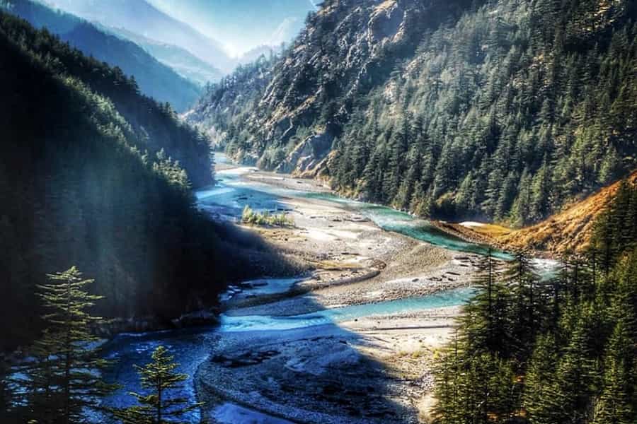
The Bhagirathi River originates from Gaumukh Glacier and flows about 193 kms before merging with Alaknanda to form River Ganga at Devprayag.
It lies in Garhwal region and is 205 km long.
It flows for about 193 km before merging with the Alaknanda at Deoprayag.
The basin area is about 6,921 sq.km.
The Headwaters of Bhagirathi river are formed at Gaumukh, perched at an elevation of 3892m above sea level,at te foot of Gangotri glacier and Khatling glaciers in the Garhwal,Himalaya.
Various tributaries joining Bhagirathi are Kedar Ganga at Gangotri, Jadh Ganga at Bhaironghati, kakora Gad and Jalandhari Gad near Harshil, Siyan Gad near Jhala, Asi Ganga near Uttarkashi and Bhilangna River near Old Tehri.
The Bhilangna itself rises at the foot of the Khatling Glacier (elevation 3,717 m) approximately 50 km south of Gaumukh.
The highest point of Bhagirathi basin is Chaukhamba I.
The famous Tehri Dam lies at the confluence of Bhagirathi and Bhilangna River near Tehri Garhwal. Other operational projects in the basin include Koteshwar, Maneri and Joshiyara. Other than these, many more have been planned and are being constructed like Kotli Bhel, Loharinag, Bhilanagna dam etc.


.png)


0 Comments