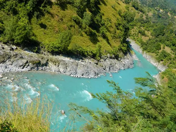
Ramganga Basin
The River Ramganga originates from Doodhatoli ranges in the district of Pauri Garhwal, Uttarakhand state of India.
It rises at an altitude of about 3,100 m in the lower Himalayas near the Lohba village in the Garhwal district of Uttaranchal.
It is the first major tributary joining Ganga on its left bank near Kannauj in Fatehgarh district.
The total length of River in 596 Km and having a catchment of 32,493 sq km. This River flows from Almora and Pauri district in Uttarakhand and Kalagarh, Bijnore, Moradabad, Rampur, Bareilly, Shahjahanpur in Uttar Pradesh.
Khoh, Gagan, Aril, Kosi and Deoha (Garra) are major tributaries of Ramganga. Kalagarh dam (embankment dam) is situated in this basin.
The complete Ramganga Basin lies between East longitudes 78°16’23” and 80°07’35” and North latitudes of 27°07’03” and 30°06’37” in Uttarakhand and Uttar Pradesh.
The portion of Ramganga Basin falling in Uttar Pradesh lies between East longitudes 78°16’23” and 80°07’35” and North latitudes of 27°07’3” and 29°45’56”, covering an area of 20,416.66 sq.km in Uttar Pradesh.
It is bounded by Ganga Basin in West and South-West, while Gomti Basin in North-East to South-East and slightly touching Ghaghra Basin in upper North- East.
There are six Sub-basins defined in Ramganga Basin namely Upper Ramganga, Kosi, Bhakra, Lower Ramganga, Aril and Garra, draining areas of 4,317.36 sq. km (21.15%), 1,023.51 (5.01%), 2,081.27 sq.km (10.19%),5,085.06 sq.km (24.91%), 2,240.11 sq.km (10.97%) and 5,669.34 sq.km (27.77%) respectively, within Uttar Pradesh. The basin covers 12 districts (3 fully and 9 partially) and 82 blocks (49 fully and 33 partially) of Uttar Pradesh.
There are 93 towns in Ramganga Basin, out of which, 72 are Statutory Towns and 21 are Census Towns.
There are five towns having population between 1 to 10 lakhs viz. Bareilly, Moradabad, Pilibhit, Rampur and Shahjahanpur.
The climate of Ramganga Basin is sub-tropical, monsoonal. Winters (October to February) are cool and dry with occasional fogs and light showers, summers (March to early June) are hot and dry, and the monsoon season (middle June to September) is warm and humid, with frequent heavy rainfall.
Diverse climate conditions are observed because of the large variation in the altitude of the catchment area.
The lower valley is usually hot. The average annual rainfall varies from 2200 mm in the north to 800 mm near the Ramganga confluence with Ganga at Hardoi.
In Uttar Pradesh rainfall varies from 700 to 1000 mm. The temperature in the Ramganga plains varies from 5° to 25°C in winter and from 20°C to more than 40°C during summer.
The annual average pan evaporation rates for Ramganga Basin is 4.88 mm/day.


0 Comments